01.07.2026.
EMERGE: the first standardised mapping of environmental and human-induced risks in the Southern Adriatic
Cross-border cooperation for the protection of the marine and coastal ecosystem has taken a decisive step forward in the Southern Adriatic basin.
As part of the EMERGE project (Environmental Management and Ecosystem-based Risk Governance Empowerment), funded by the Interreg IPA South Adriatic programme, the partnership is completing the first screening phase, which is necessary to identify the risks threatening the territories of the Emerge project partners. This effort will lead to the creation of the Risk Catalog.
This work, which is vital for coastal safety, was coordinated by ARTI Puglia (Regional Agency for Technology, Technology transfer and Innovation) as Lead Partner and scientifically led by ARPA Puglia (Regional Agency for Environmental Protection), a project partner. ARPA Puglia developed a standardised technical framework using the Environmental Risk Assessment (ERA) methodology, using official databases available at the European, national or regional level. The potential impact of coastal environmental threats may be assessed by cross-referencing three key factors: the intensity and probability of the hazard, the susceptibility of the territory (vulnerability) and the quantification of exposed targets (exposure), such as vulnerable ecosystems, protected areas and socio-economic settlements. The strategic coherence of the initiative was ensured by the involvement of other partners in the region: AAST Termoli (Tourism and Hospitality Autonomous Agency) for Molise, the IEI Institute (Institute of International Excellence) for Albania and the FSKL University (Faculty of Traffic, Communications and Logistics Budva, Adriatic University) for Montenegro.
The work led by ARPA Puglia has made it possible to systematise data relating to potential risks, distinguishing between factors of natural origin and impacts resulting from human activities:
Natural Risks:
- Storm surges and coastal flooding: monitoring the impact of waves on coastlines and calculating the risk of flooding based on the strength of storm surges.
- Tsunami Risk: prevention of hazards linked to abnormal waves caused by undersea earthquakes, studied using international scientific models.
- Landslides and coastal erosion: study of the stability of cliffs and rock faces, the gradual retreat of sandy beaches, and the risk of flooding where rivers flow into the sea.
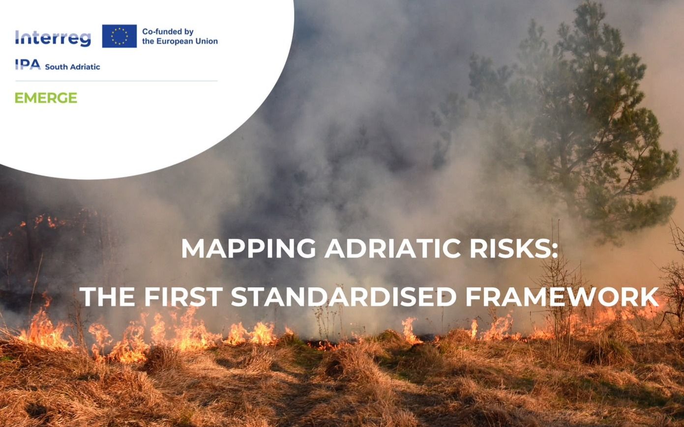
- Earthquakes and forest fires: assessment of seismic risk along the Adriatic coast and fire control in areas where coastal woodlands are situated close to residential areas and tourist facilities.
Anthropogenic Risks:
Spills of hydrocarbons and toxic substances: management of emergencies related to the accidental leakage of oil and hazardous chemicals from ships along trade routes.
- Chemical pollution and algal blooms (eutrophication): control of damage caused by discharges from towns, industries and residues of fertilisers used in agriculture that end up in the sea, monitored in accordance with European water directives.
- Physical alterations and temperature fluctuations: the impact of ports, artificial barriers and seabed dredging, which alter the movement of sand and currents; monitoring of water warming caused by both industrial discharges and climate change.
- Health risks (hygiene and radiological): monitoring the presence of bacteria caused by untreated sewage or discharges from livestock farms, combined with the prevention of the dispersal of radioactive materials into the sea.
The added value of this first milestone lies in mapping data availability through a shared matrix, which is essential for feeding into EMERGE’s future predictive models.
A summary of the available information sources will be prepared, highlighting their characteristics, spatial coverage, level of detail, and data quality. Based on the information collected, a risk catalogue will be developed.